
Alaska maps
The Alaska map shows the state outline and 30 county-level divisions . Compare the two views below and download either as SVG or PNG.
Preview the blank outline of Alaska
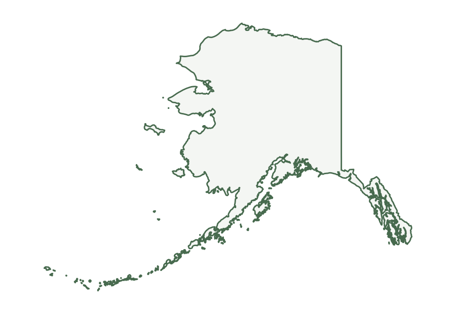
Alaska in the source file
The Census Bureau identifies Alaska with postal abbreviation AK and state FIPS code 02. Its 2025 county file has 30 boroughs and census areas. The fine lines in the first image trace those divisions within the state outline.
| Postal abbreviation | AK |
|---|---|
| State FIPS code | 02 |
| County-level records | 30 |
| Land area | 571,390 sq mi |
| Water area | 94,335 sq mi |
| Land area rank | 1 of 50 states |
The area figures are rounded conversions of the square-meter attributes in the state file. Water accounts for 14.2% of the file’s combined land and water area for Alaska; that figure describes the source data, not a shaded portion of the SVG. The land rank compares the 50 states in this same file and excludes Washington, D.C.
What is on the map?
The blank version isolates the outer boundary. The county and equivalent map adds boundaries from the matching 2025 county file. In Alaska, these records are boroughs and census areas rather than a statewide system of counties. The maps omit roads, city names, terrain, and current travel information.
The files are based on the Census Bureau’s national 1:5,000,000 cartographic boundaries. The dataset is generalized for display, so small islands and fine bends along a coast or river may be simplified. The source scale describes the boundary detail; enlarging the SVG keeps its lines sharp but does not add geographic precision. For local analysis or a legal boundary question, use an appropriate larger-scale official dataset.
County-level names in this map
The alphabetical names below come from the same 2025 county file used to draw the internal lines. Hover over a division in the map above to see its name. The names appear as tooltips and are not printed on the map; the list below is useful on touch screens and when looking up a name alphabetically.
Show all 30 names
- Aleutians East Borough
- Aleutians West Census Area
- Anchorage Municipality
- Bethel Census Area
- Bristol Bay Borough
- Chugach Census Area
- Copper River Census Area
- Denali Borough
- Dillingham Census Area
- Fairbanks North Star Borough
- Haines Borough
- Hoonah-Angoon Census Area
- Juneau City and Borough
- Kenai Peninsula Borough
- Ketchikan Gateway Borough
- Kodiak Island Borough
- Kusilvak Census Area
- Lake and Peninsula Borough
- Matanuska-Susitna Borough
- Nome Census Area
- North Slope Borough
- Northwest Arctic Borough
- Petersburg Borough
- Prince of Wales-Hyder Census Area
- Sitka City and Borough
- Skagway Municipality
- Southeast Fairbanks Census Area
- Wrangell City and Borough
- Yakutat City and Borough
- Yukon-Koyukuk Census Area
Choosing and printing a file
Use the blank outline when you plan to add your own labels or use the shape in a worksheet. Use the county-level version when the internal divisions matter. SVG is a vector format that stays clear when resized in a browser or compatible editor. PNG is a fixed 1,800 × 1,240 pixel image for software that does not accept SVG. Both show the same source boundaries. The printing guide explains paper size, margins, and attribution.
For a road or topographic map, use a source that includes those layers. The USGS National Map provides downloadable topographic maps and other geographic data. Our map types guide compares the purpose of each kind of map.
Source and attribution
Source: U.S. Census Bureau, 2025 Cartographic Boundary Files , national state and county KML at 1:5,000,000 scale. USA State Maps transformed those coordinates into the files above. When sharing an image, include the Census Bureau as the boundary source and retain the year and scale so readers can understand its limits.