
Printable U.S. map worksheets
Three one-page worksheets for U.S. geography, each a landscape letter-size PDF, with an answer key further down this page. All use the same 2025 Census Bureau state boundaries as the rest of the site.
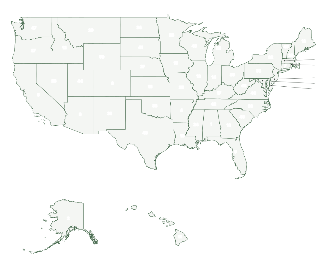
Label the 50 states
Each state carries a number, assigned alphabetically, so the answer key below doubles as a word bank if you want to make the sheet easier. The smallest northeastern states are numbered outside the coast with leader lines.
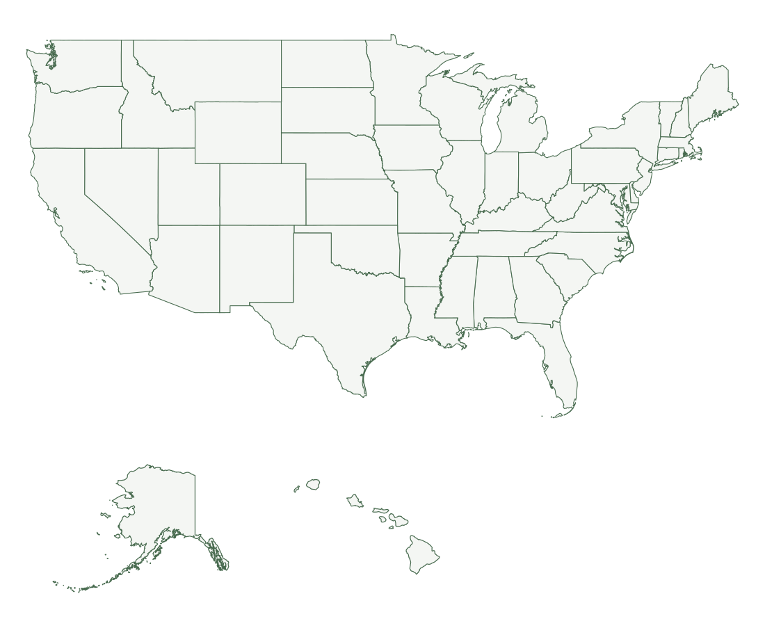
Blank map of the 50 states
With no numbers to lean on, this is the harder version: students write each name or postal code directly on the state. It also works for coloring by region, or for marking the states a class has studied.
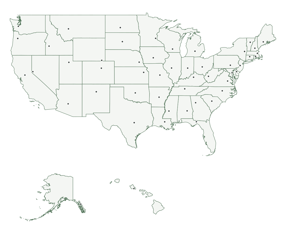
Name the capitals
A star marks each capital with no names. Students name the capital of each state, which also shows how often a capital sits away from the state’s largest city: the capital is also the most populous city in only 17 of the 50 states.
Answer key
The numbers on the labeling worksheet follow alphabetical order. Washington, D.C., is not numbered because it is too small to show at this scale. For a map-form answer sheet to the numbered and blank worksheets, print the labeled U.S. map (PDF), which uses the same projection and page layout, so it can be laid next to a student’s sheet for checking. Printing this page from the browser gives the three maps and this answer key without the menus and download links.
| No. | State | Code | Capital |
|---|---|---|---|
| 1 | Alabama | AL | Montgomery |
| 2 | Alaska | AK | Juneau |
| 3 | Arizona | AZ | Phoenix |
| 4 | Arkansas | AR | Little Rock |
| 5 | California | CA | Sacramento |
| 6 | Colorado | CO | Denver |
| 7 | Connecticut | CT | Hartford |
| 8 | Delaware | DE | Dover |
| 9 | Florida | FL | Tallahassee |
| 10 | Georgia | GA | Atlanta |
| 11 | Hawaii | HI | Honolulu |
| 12 | Idaho | ID | Boise |
| 13 | Illinois | IL | Springfield |
| 14 | Indiana | IN | Indianapolis |
| 15 | Iowa | IA | Des Moines |
| 16 | Kansas | KS | Topeka |
| 17 | Kentucky | KY | Frankfort |
| 18 | Louisiana | LA | Baton Rouge |
| 19 | Maine | ME | Augusta |
| 20 | Maryland | MD | Annapolis |
| 21 | Massachusetts | MA | Boston |
| 22 | Michigan | MI | Lansing |
| 23 | Minnesota | MN | Saint Paul |
| 24 | Mississippi | MS | Jackson |
| 25 | Missouri | MO | Jefferson City |
| 26 | Montana | MT | Helena |
| 27 | Nebraska | NE | Lincoln |
| 28 | Nevada | NV | Carson City |
| 29 | New Hampshire | NH | Concord |
| 30 | New Jersey | NJ | Trenton |
| 31 | New Mexico | NM | Santa Fe |
| 32 | New York | NY | Albany |
| 33 | North Carolina | NC | Raleigh |
| 34 | North Dakota | ND | Bismarck |
| 35 | Ohio | OH | Columbus |
| 36 | Oklahoma | OK | Oklahoma City |
| 37 | Oregon | OR | Salem |
| 38 | Pennsylvania | PA | Harrisburg |
| 39 | Rhode Island | RI | Providence |
| 40 | South Carolina | SC | Columbia |
| 41 | South Dakota | SD | Pierre |
| 42 | Tennessee | TN | Nashville |
| 43 | Texas | TX | Austin |
| 44 | Utah | UT | Salt Lake City |
| 45 | Vermont | VT | Montpelier |
| 46 | Virginia | VA | Richmond |
| 47 | Washington | WA | Olympia |
| 48 | West Virginia | WV | Charleston |
| 49 | Wisconsin | WI | Madison |
| 50 | Wyoming | WY | Cheyenne |
Printing the worksheets
Each PDF is a single landscape page sized for U.S. letter paper (8.5 × 11 inches), with the title at the top and the Census source line at the bottom. Open it and print at 100 percent or “Actual size” on letter paper. On A4 paper (210 × 297 mm), choose “Fit to page” or “Scale to fit”: A4 is about 6 mm shorter than letter in landscape, so the page is reduced to about 97 percent (a little less on printers with wide margins), which leaves every label readable.
The maps are mostly line work on a very pale fill, so they print cleanly in black and white and use little toner. The state outlines are dark green and print as dark gray; the pale fill prints close to white and leaves room for coloring or writing. Students writing full state names on the blank map will find the smallest northeastern states tight at letter size. The numbered sheet avoids this with numbers placed off the coast, and for the blank map you can accept postal codes, which are listed in the answer key.
Worksheets for one state or region
For a lesson on a single state, each state page has an unlabeled county map and a blank outline as PDFs. Students can label counties from the state’s county table, mark the capital and largest cities, or trace the rivers named on its river map. The answers are on the same page, in the labeled county map and the tables.
For a smaller group of states, use a Northeast, Midwest, South, and West region map, whose states share one scale, so students can compare their sizes directly. To print any of these at a larger size, see the printing guide.