
United States map with state names and capitals
Printable maps of all 50 states from the Census Bureau’s 2025 boundary files, each as a one-page PDF, PNG, or SVG.
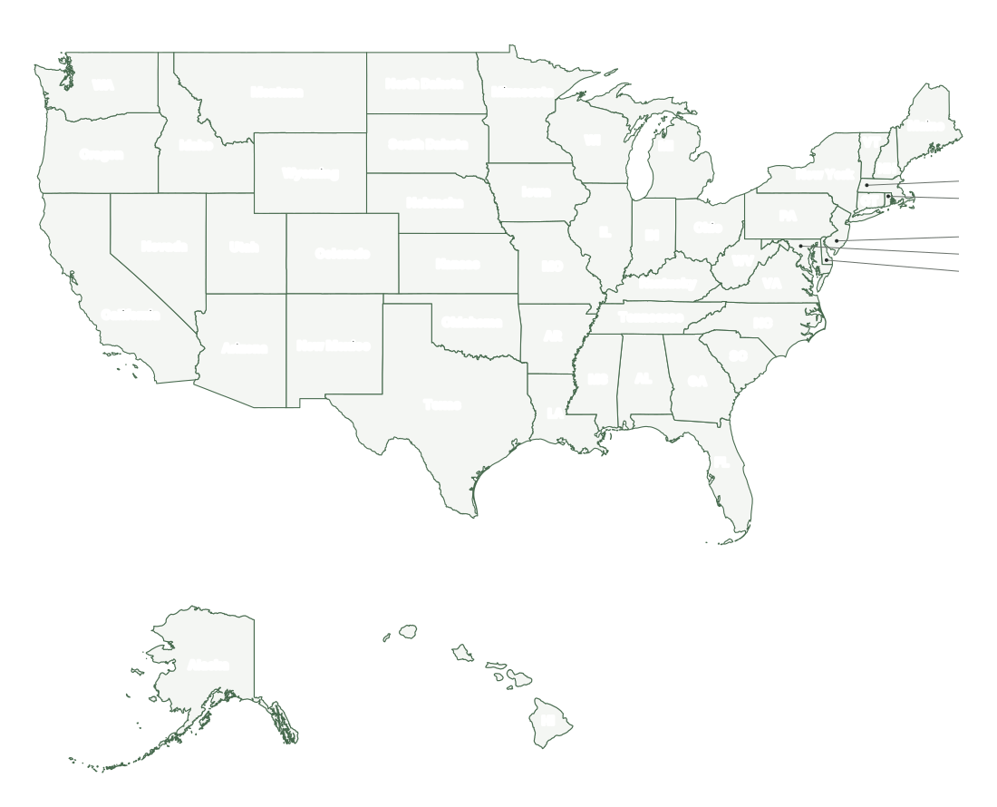
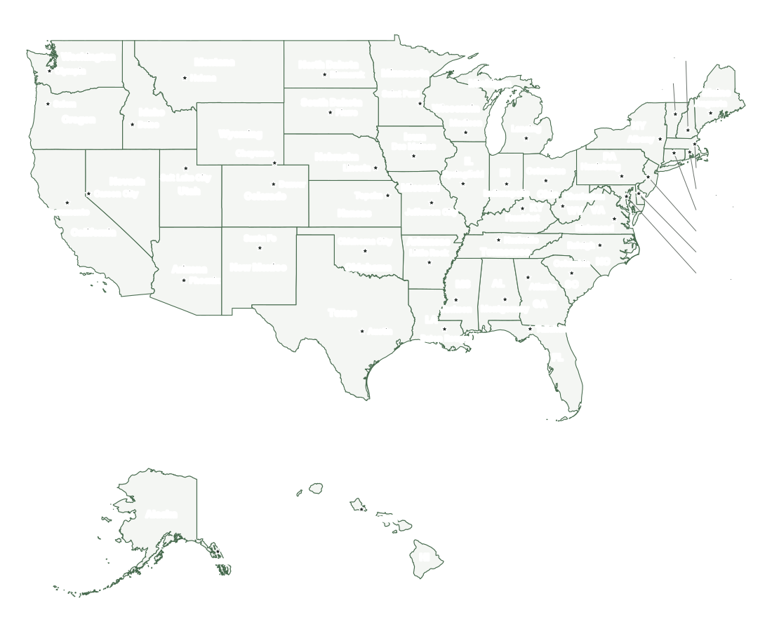
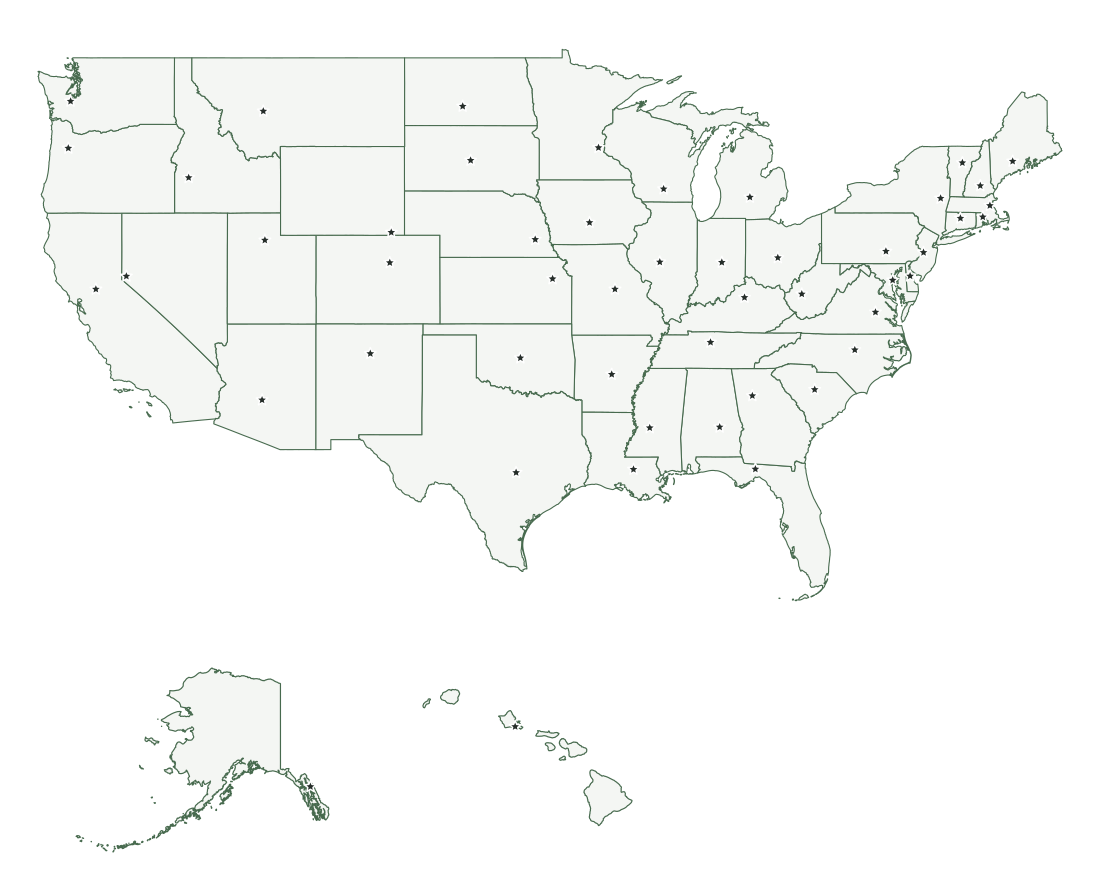
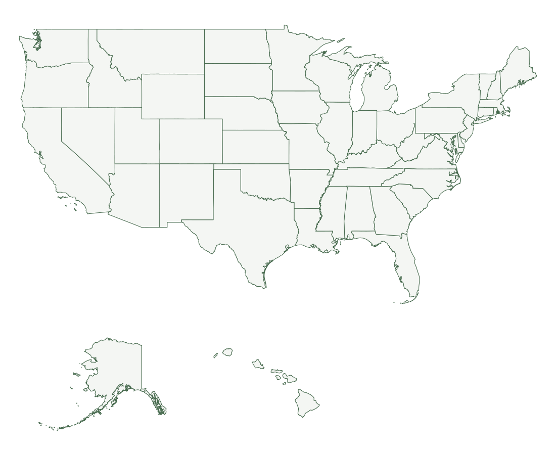
All 50 states, abbreviations, and capitals
The two-letter codes are the U.S. Postal Service abbreviations, which the Census Bureau also uses in its files. The order of admission counts the 13 original states by the date each ratified the Constitution. Separate pages cover state abbreviations, including the older and AP-style forms, and the state capitals with their populations.
| State | Abbreviation | Capital | Order | Admitted |
|---|---|---|---|---|
| Alabama | AL | Montgomery | 22 | December 14, 1819 |
| Alaska | AK | Juneau | 49 | January 3, 1959 |
| Arizona | AZ | Phoenix | 48 | February 14, 1912 |
| Arkansas | AR | Little Rock | 25 | June 15, 1836 |
| California | CA | Sacramento | 31 | September 9, 1850 |
| Colorado | CO | Denver | 38 | August 1, 1876 |
| Connecticut | CT | Hartford | 5 | January 9, 1788 |
| Delaware | DE | Dover | 1 | December 7, 1787 |
| Florida | FL | Tallahassee | 27 | March 3, 1845 |
| Georgia | GA | Atlanta | 4 | January 2, 1788 |
| Hawaii | HI | Honolulu | 50 | August 21, 1959 |
| Idaho | ID | Boise | 43 | July 3, 1890 |
| Illinois | IL | Springfield | 21 | December 3, 1818 |
| Indiana | IN | Indianapolis | 19 | December 11, 1816 |
| Iowa | IA | Des Moines | 29 | December 28, 1846 |
| Kansas | KS | Topeka | 34 | January 29, 1861 |
| Kentucky | KY | Frankfort | 15 | June 1, 1792 |
| Louisiana | LA | Baton Rouge | 18 | April 30, 1812 |
| Maine | ME | Augusta | 23 | March 15, 1820 |
| Maryland | MD | Annapolis | 7 | April 28, 1788 |
| Massachusetts | MA | Boston | 6 | February 6, 1788 |
| Michigan | MI | Lansing | 26 | January 26, 1837 |
| Minnesota | MN | Saint Paul | 32 | May 11, 1858 |
| Mississippi | MS | Jackson | 20 | December 10, 1817 |
| Missouri | MO | Jefferson City | 24 | August 10, 1821 |
| Montana | MT | Helena | 41 | November 8, 1889 |
| Nebraska | NE | Lincoln | 37 | March 1, 1867 |
| Nevada | NV | Carson City | 36 | October 31, 1864 |
| New Hampshire | NH | Concord | 9 | June 21, 1788 |
| New Jersey | NJ | Trenton | 3 | December 18, 1787 |
| New Mexico | NM | Santa Fe | 47 | January 6, 1912 |
| New York | NY | Albany | 11 | July 26, 1788 |
| North Carolina | NC | Raleigh | 12 | November 21, 1789 |
| North Dakota | ND | Bismarck | 39 | November 2, 1889 |
| Ohio | OH | Columbus | 17 | March 1, 1803 |
| Oklahoma | OK | Oklahoma City | 46 | November 16, 1907 |
| Oregon | OR | Salem | 33 | February 14, 1859 |
| Pennsylvania | PA | Harrisburg | 2 | December 12, 1787 |
| Rhode Island | RI | Providence | 13 | May 29, 1790 |
| South Carolina | SC | Columbia | 8 | May 23, 1788 |
| South Dakota | SD | Pierre | 40 | November 2, 1889 |
| Tennessee | TN | Nashville | 16 | June 1, 1796 |
| Texas | TX | Austin | 28 | December 29, 1845 |
| Utah | UT | Salt Lake City | 45 | January 4, 1896 |
| Vermont | VT | Montpelier | 14 | March 4, 1791 |
| Virginia | VA | Richmond | 10 | June 25, 1788 |
| Washington | WA | Olympia | 42 | November 11, 1889 |
| West Virginia | WV | Charleston | 35 | June 20, 1863 |
| Wisconsin | WI | Madison | 30 | May 29, 1848 |
| Wyoming | WY | Cheyenne | 44 | July 10, 1890 |
Delaware was first to ratify the Constitution, on December 7, 1787. North Dakota and South Dakota were admitted the same day; by convention North Dakota is listed 39th. Washington, D.C., has its own map page.
How the map is arranged
The 48 contiguous states share one scale. Alaska and Hawaii sit in insets at their own scales: drawn at the same scale, Alaska (571,390 sq mi of land) would span a large part of the contiguous states, and Hawaii would lie far off the lower-left corner. Washington, D.C., is too small to show separately at this size. For a version you can click state by state, use the interactive map on the home page; for a numbered map with an answer key, see the worksheets.
Missouri and Tennessee border 8 other states, the most of any. Maine borders just one, New Hampshire. The Census Bureau groups the states into four regions: Northeast, Midwest, South, and West, defined in its regions and divisions reference map. The bordering states list gives every state’s neighbors.
Frequently asked questions
How many states are in the United States?
There are 50 states, listed alphabetically in the table above. Washington, D.C., is a federal district and not a state, and territories such as Puerto Rico and Guam are not states either. Hawaii, admitted on August 21, 1959, was the last state to join.
What are the 48 contiguous states?
All states except Alaska and Hawaii. The contiguous 48, also called the lower 48, form one connected block between Canada and Mexico and cover 2,955,758 square miles of land, 84% of the 50-state total. Canada separates Alaska from them, and Hawaii lies in the Pacific Ocean.
What are the largest and smallest states?
By total area, Alaska is the largest state at 665,725 square miles, more than twice the size of Texas (268,599), and Rhode Island is the smallest at 1,545 square miles. By population, California is the largest, with 39,355,309 residents in the Census Bureau’s July 1, 2025 estimates, and Wyoming the smallest, with 588,753.
Which states border Canada?
Thirteen: Alaska, Idaho, Maine, Michigan, Minnesota, Montana, New Hampshire, New York, North Dakota, Ohio, Pennsylvania, Vermont, and Washington. Michigan, Ohio, and Pennsylvania meet Canada only across water, in the Great Lakes and the rivers that connect them.
Which states border Mexico?
Four: Arizona, California, New Mexico, and Texas. Along Texas the boundary follows the Rio Grande.
How many time zones do the 50 states use?
Six standard time zones: Eastern, Central, Mountain, Pacific, Alaska, and Hawaii-Aleutian. Fourteen states are split between two zones: Alaska, Florida, Idaho, Indiana, Kansas, Kentucky, Michigan, Nebraska, Nevada, North Dakota, Oregon, South Dakota, Tennessee, and Texas. Hawaii and most of Arizona do not observe daylight saving time.
Boundaries and area: U.S. Census Bureau, 2025 Cartographic Boundary Files, 1:5,000,000. Capital positions: 2025 Census Gazetteer. Population: Census Bureau Vintage 2025 estimates. Time zones: 49 CFR Part 71. See the printing guide for paper size and attribution.