
Map of Delaware
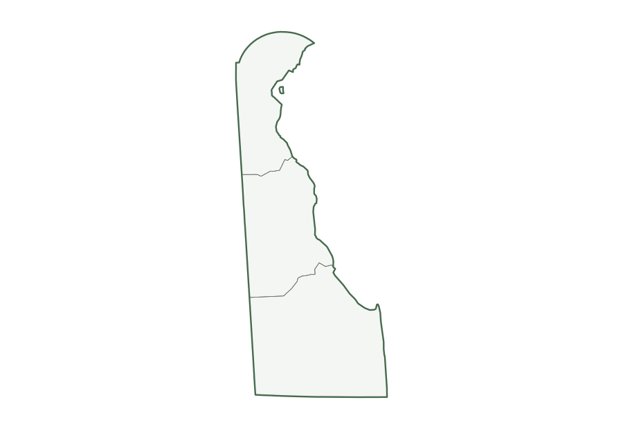
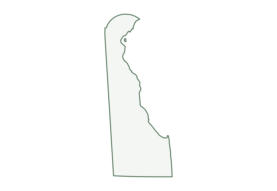
Delaware is a South Atlantic state in the Census Bureau’s South region, with 1,059,952 residents in the July 1, 2025 estimate (45th of 50) and 1,949 square miles of land (49th largest). Its capital is Dover; its most populous city is Wilmington. The map below shows its three counties.
| Map | PDF for printing | Image | Vector |
|---|---|---|---|
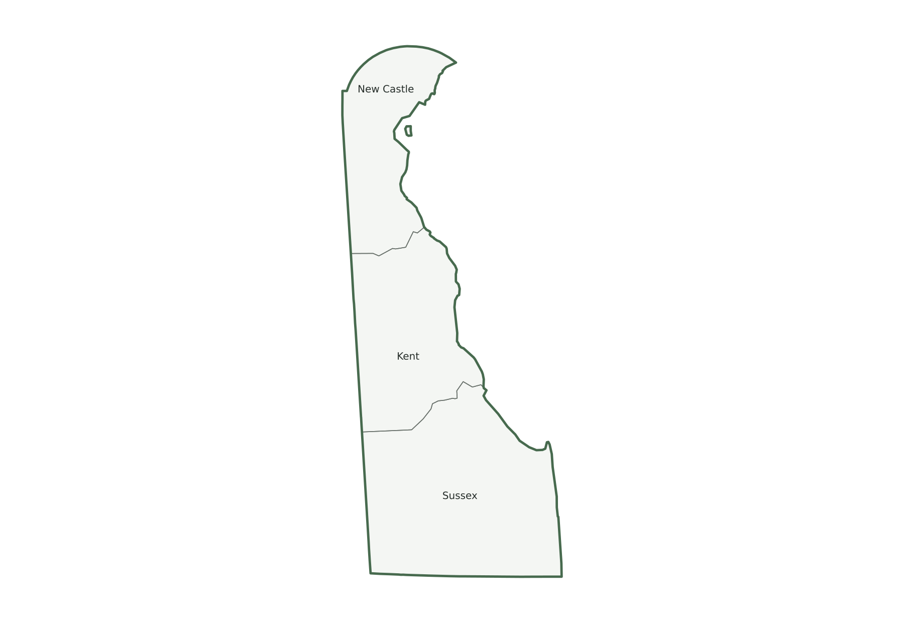
| County map with names | PNG | SVG | |
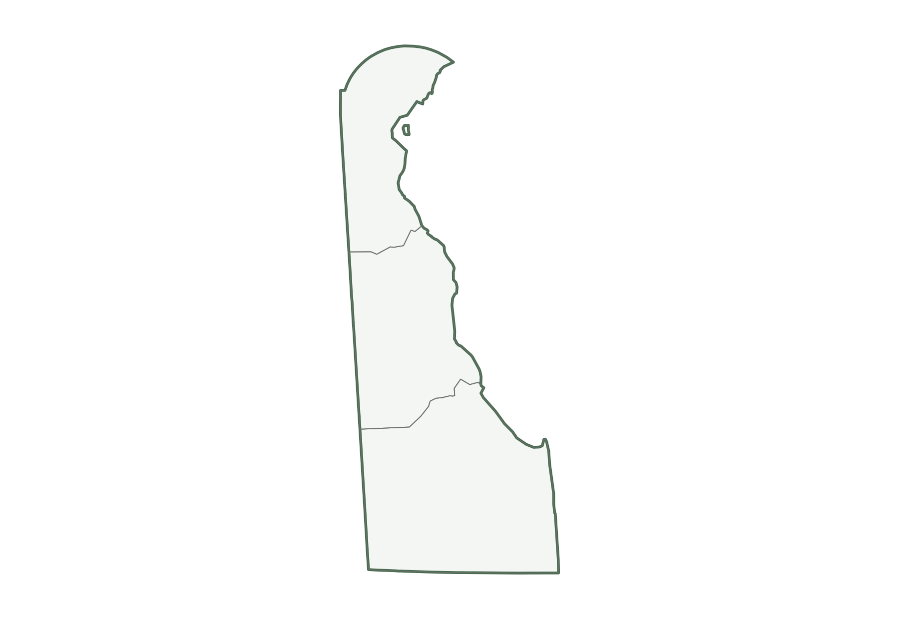
| County map, unlabeled | PNG | SVG | |
| Capital and largest cities | PNG | SVG | |
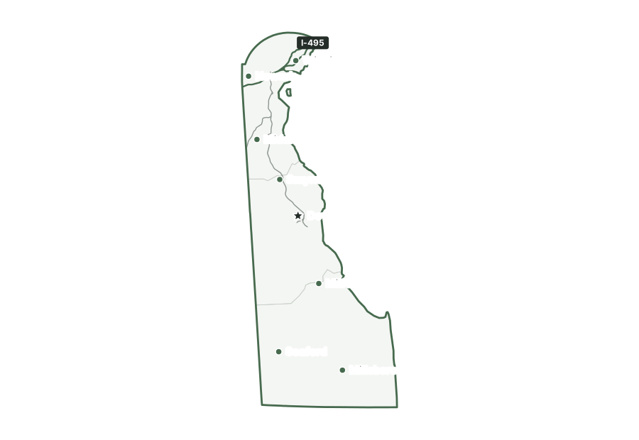
| Interstates and major highways | PNG | SVG | |
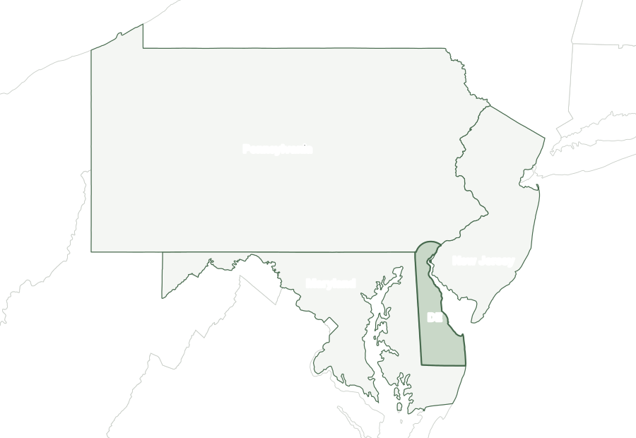
| With bordering states | PNG | SVG | |
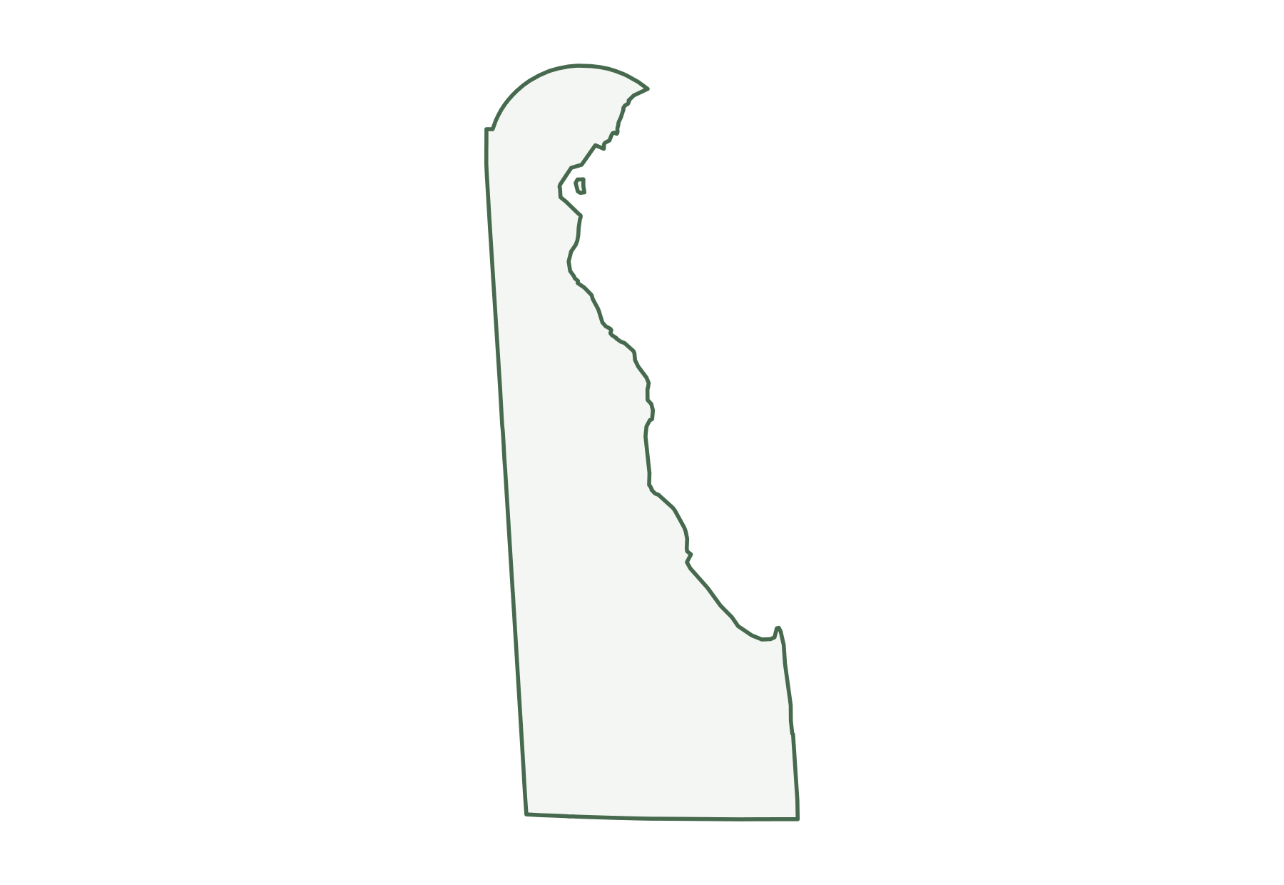
| Blank outline | PNG | SVG |
Delaware facts
| Capital | Dover |
|---|---|
| Most populous city | Wilmington (73,512) |
| Ratified the Constitution | December 7, 1787 (1st state) |
| Population, July 1, 2025 | 1,059,952 (45th of 50) |
| Change since April 2020 | +7.1% (7th of 50 by growth) |
| Land area | 1,949 sq mi (49th largest) |
| Water area | 540 sq mi (21.7% of total area) |
| Population density | 544 people per sq mi of land (6th densest) |
| Highest point | Ebright Road, 448 ft (49th highest state high point) |
| Lowest point | Atlantic Ocean, sea level |
| Mean elevation | About 60 ft |
| Time zone | Eastern (U.S. time zones) |
| Bordering states | Maryland, New Jersey, and Pennsylvania |
| Main interstates | I-95 |
| County-level divisions | 3 counties |
| Census region and division | South, South Atlantic |
| Regional groupings | Mid-Atlantic, East Coast |
| Postal code and FIPS code | DE · 10 |
Population figures are the Census Bureau’s Vintage 2025 estimates; the change is measured from the April 1, 2020 estimates base. Areas come from the 2025 boundary file and are converted from square meters. Elevations are from the U.S. Geological Survey. Ranks compare the 50 states and exclude Washington, D.C.
Geography of Delaware
Occupying the northeastern part of the Delmarva Peninsula, the state runs north to south with the Delaware River and Delaware Bay along its eastern side and the Atlantic Ocean at the southeast, beyond Cape Henlopen. The Piedmont's hills reach only the far north, above a fall line near the road between Newark and Wilmington; flat, sandy and sometimes swampy Atlantic Coastal Plain covers everything to the south. The Chesapeake and Delaware Canal crosses New Castle County. An arc of the Twelve-Mile Circle shapes the northern edge, and small tracts on the New Jersey side of the river, at Finns Point and Artificial Island, also belong to Delaware.
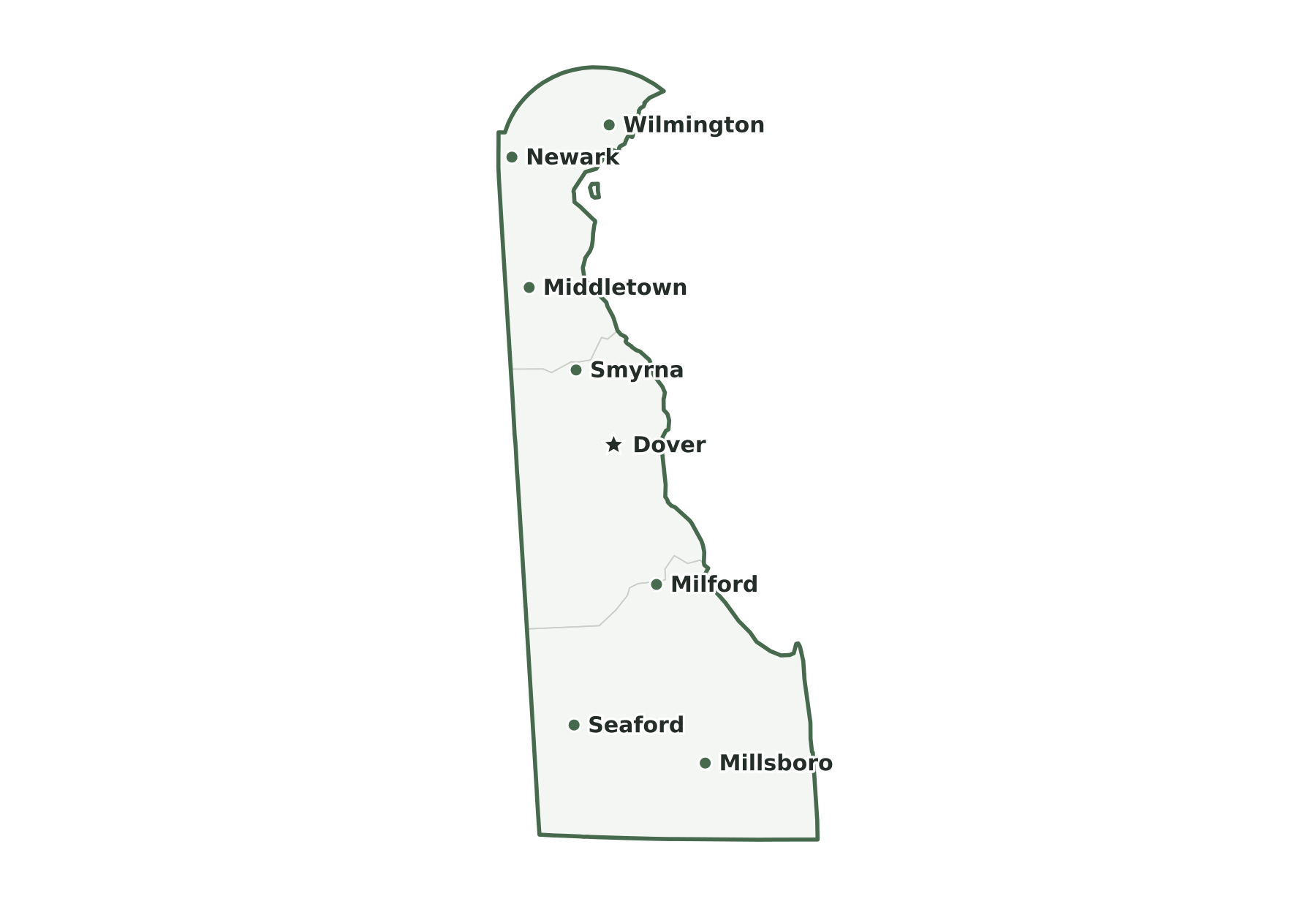
Capital and largest cities
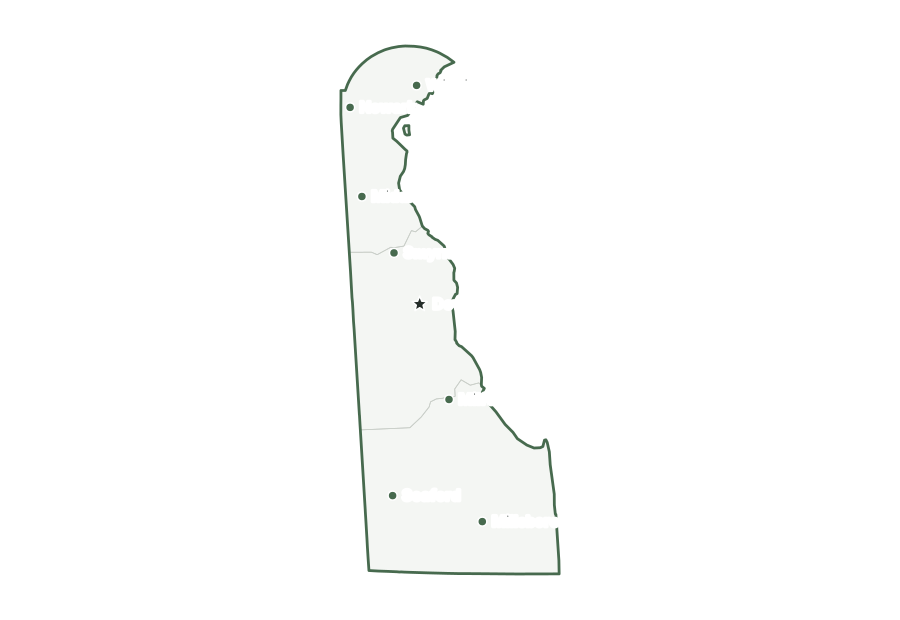
Dover, the capital, ranks 2nd among Delaware’s incorporated places by population. Wilmington is the largest, with 73,512 residents as of July 1, 2025. The ten largest places together hold 22% of the state’s population.
| Rank | Place | Population 2025 | Change since 2020 |
|---|---|---|---|
| 1 | Wilmington | 73,512 | +3.7% |
| 2 | Dover (capital) | 40,592 | +2.8% |
| 3 | Newark | 30,359 | −0.9% |
| 4 | Middletown | 25,798 | +11.2% |
| 5 | Milford | 14,723 | +31.9% |
| 6 | Smyrna | 13,340 | +3.5% |
| 7 | Seaford | 9,165 | +15.5% |
| 8 | Georgetown | 8,291 | +15.5% |
| 9 | Millsboro | 7,890 | +16.5% |
| 10 | Elsmere | 6,196 | −0.5% |
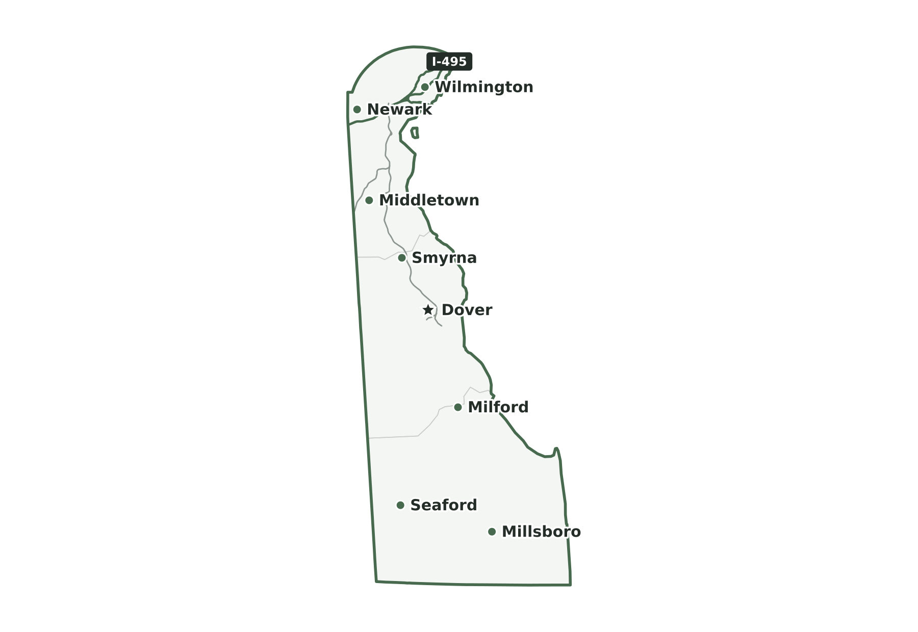
Interstates and major highways
The main interstates in Delaware are I-95. Shorter spurs and loops include I-295 and I-495.
States that border Delaware
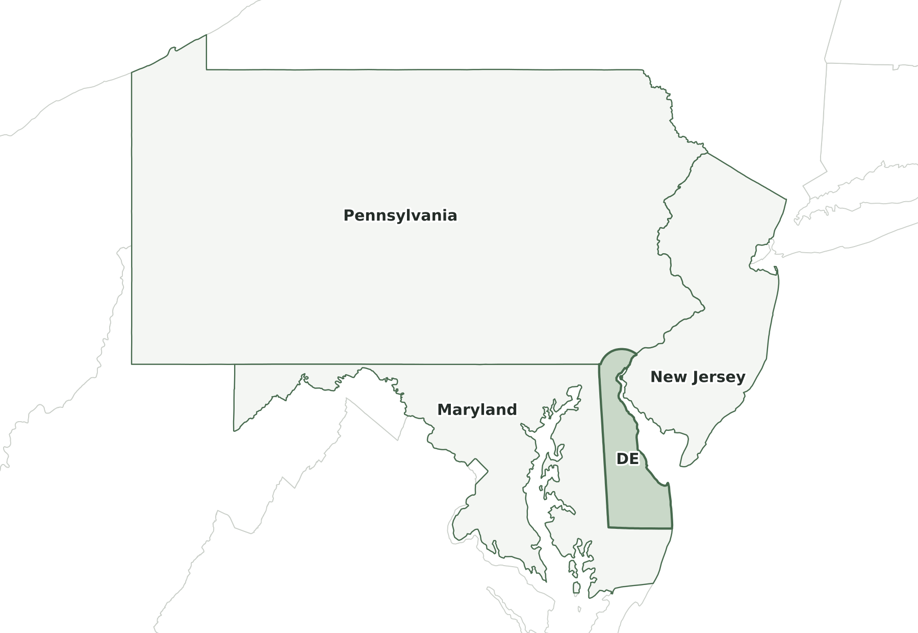
Three states border Delaware: Maryland, New Jersey, and Pennsylvania.
Map of Delaware and surrounding states
| State | Direction | Shared land boundary |
|---|---|---|
| Pennsylvania | north | about 20 mi |
| New Jersey | northeast | about 13 mi |
| Maryland | southwest | about 120 mi |
How each boundary is drawn
Pennsylvania. An arc of the Twelve-Mile Circle centered on New Castle forms most of the line; at the west end, an eastward extension of the Mason-Dixon Line reaches Maryland.
New Jersey. Within the Twelve-Mile Circle the line follows the low-water mark on the New Jersey shore of the Delaware River; below the circle, the main navigation channel forms it.
Maryland. The Transpeninsular Line forms the south side; the Tangent Line runs north from the midpoint to the Twelve-Mile Circle, then a short arc and due-north line reach Pennsylvania.
Directions and lengths in the table are our measurements: the direction is the side of Delaware along which each shared boundary runs, judged from the center of the state. Lengths are measured along the generalized 1:5,000,000 boundary lines, which smooth out river bends and small jogs, so they run shorter than surveyed lengths. The file is clipped to the shoreline of the oceans, the Great Lakes, and large bays, so boundaries through those waters are not counted.
Counties of Delaware
The 2025 county file divides Delaware into 3 counties. The largest by land area is Sussex County (936 sq mi) and the smallest is New Castle County (426 sq mi). New Castle County is the most populous, with 588,026 residents, or 55% of the state. Kent County has the fewest, with 194,786. Half of Delaware’s counties have fewer than 277,140 residents, and all of them grew between 2020 and 2025.
| Name | Seat | FIPS | Land sq mi | Population 2025 | Change since 2020 |
|---|---|---|---|---|---|
| Kent County | Dover | 10001 | 586 | 194,786 | +7.1% |
| New Castle County | Wilmington | 10003 | 426 | 588,026 | +3.0% |
| Sussex County | Georgetown | 10005 | 936 | 277,140 | +16.8% |
Geographic extent
In the generalized boundary file, Delaware reaches from 38.45° N to 39.84° N and from 75.79° W to 75.05° W. That is about 96 miles north to south and 40 miles east to west at its central latitude. The center of its mapped area falls at 38.99° N, 75.50° W, nearest to Frederica among Census-listed places. We calculated this center from the outline; it is not an official geographic-center marker.
Frequently asked questions
How many states border Delaware?
Three: Maryland, New Jersey, and Pennsylvania. See the map of Delaware and surrounding states.
How many counties does Delaware have?
Delaware has three counties. New Castle County has the most residents and Sussex County the most land; the county table lists them all.
What is the capital of Delaware, and what is its largest city?
The capital is Dover; the largest city is Wilmington. The cities section lists the ten most populous places.
How big is Delaware?
In the Census Bureau’s 2025 boundary file, Delaware covers 2,489 square miles: 1,949 of land and 540 of water. That makes it the 49th largest state by both total area and land area.
What time zone is Delaware in?
All of Delaware is in the Eastern Time Zone and observes daylight saving time.
What is the highest point in Delaware?
The highest point is Ebright Road, at 448 feet, the 49th highest of the 50 state high points. The lowest point is the Atlantic Ocean, at sea level.
Sources and use
Boundaries: U.S. Census Bureau, 2025 Cartographic Boundary Files, 1:5,000,000 scale, generalized for display. Population: Census Bureau Vintage 2025 estimates. City positions: the 2025 Census Gazetteer. Roads: 2025 TIGER/Line primary roads. Rivers and lakes: Natural Earth. County seats: Wikidata, checked against Wikipedia’s county lists. The maps are for reference, teaching, and ordinary printing, not for property lines, precincts, or navigation. When you share a map, keep the source line with it. The printing guide covers paper size and attribution.