
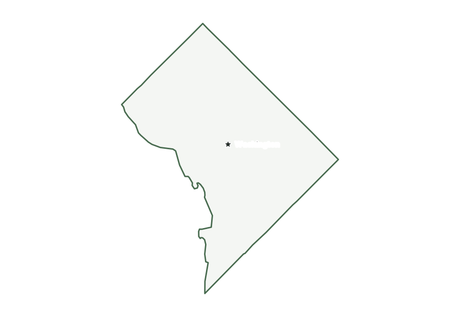
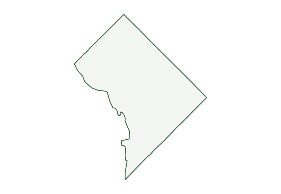
Map of Washington, D.C.
Washington, D.C., the federal district and national capital, covers 61 square miles of land and had 693,645 residents in the Census Bureau’s July 1, 2025 estimate. It belongs to no state; the Census Bureau places it in the South Atlantic division of the South region. It borders Maryland and Virginia.
| Map | PDF for printing | Image | Vector |
|---|---|---|---|
| District boundary | PNG | SVG | |
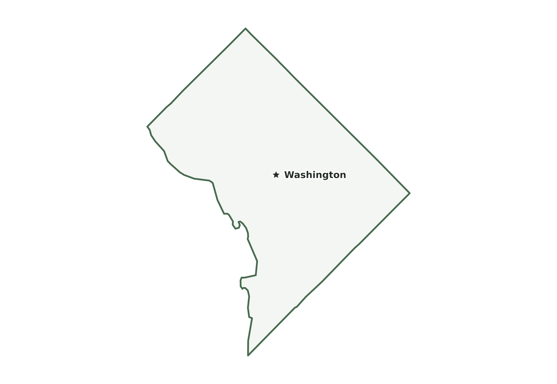
| Capital and largest cities | PNG | SVG | |
| Interstates and major highways | PNG | SVG | |
| Rivers and lakes | PNG | SVG | |
| With bordering states | PNG | SVG | |
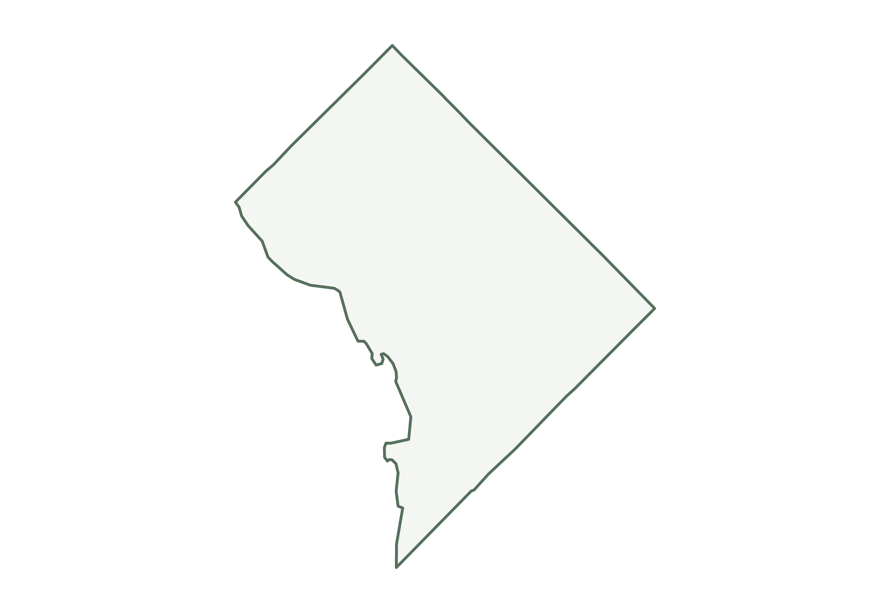
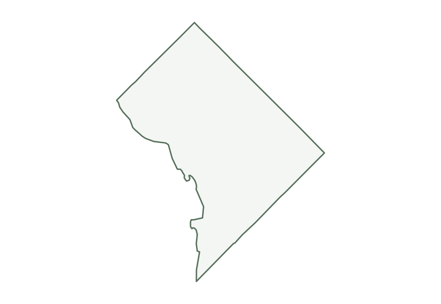
| Blank outline | PNG | SVG |
District of Columbia facts
| Status | Federal district and U.S. capital |
|---|---|
| Most populous city | Washington (693,645) |
| Population, July 1, 2025 | 693,645 |
| Change since April 2020 | +0.6% |
| Land area | 61 sq mi |
| Water area | 7 sq mi (10.6% of total area) |
| Population density | 11,371 people per sq mi of land |
| Highest point | Point Reno, 410 ft |
| Lowest point | Potomac River, 1 ft |
| Mean elevation | About 150 ft |
| Time zone | Eastern (U.S. time zones) |
| Bordering states | Maryland and Virginia |
| Main interstates | I-295, I-395, and I-695 |
| County-level divisions | 1 federal district |
| Census region and division | South, South Atlantic |
| Regional groupings | Mid-Atlantic |
| Postal code and FIPS code | DC · 11 |
Population figures are the Census Bureau’s Vintage 2025 estimates; the change is measured from the April 1, 2020 estimates base. Areas come from the 2025 boundary file and are converted from square meters. Elevations are from the U.S. Geological Survey. Ranks compare the 50 states and exclude Washington, D.C.
Geography of Washington, D.C.
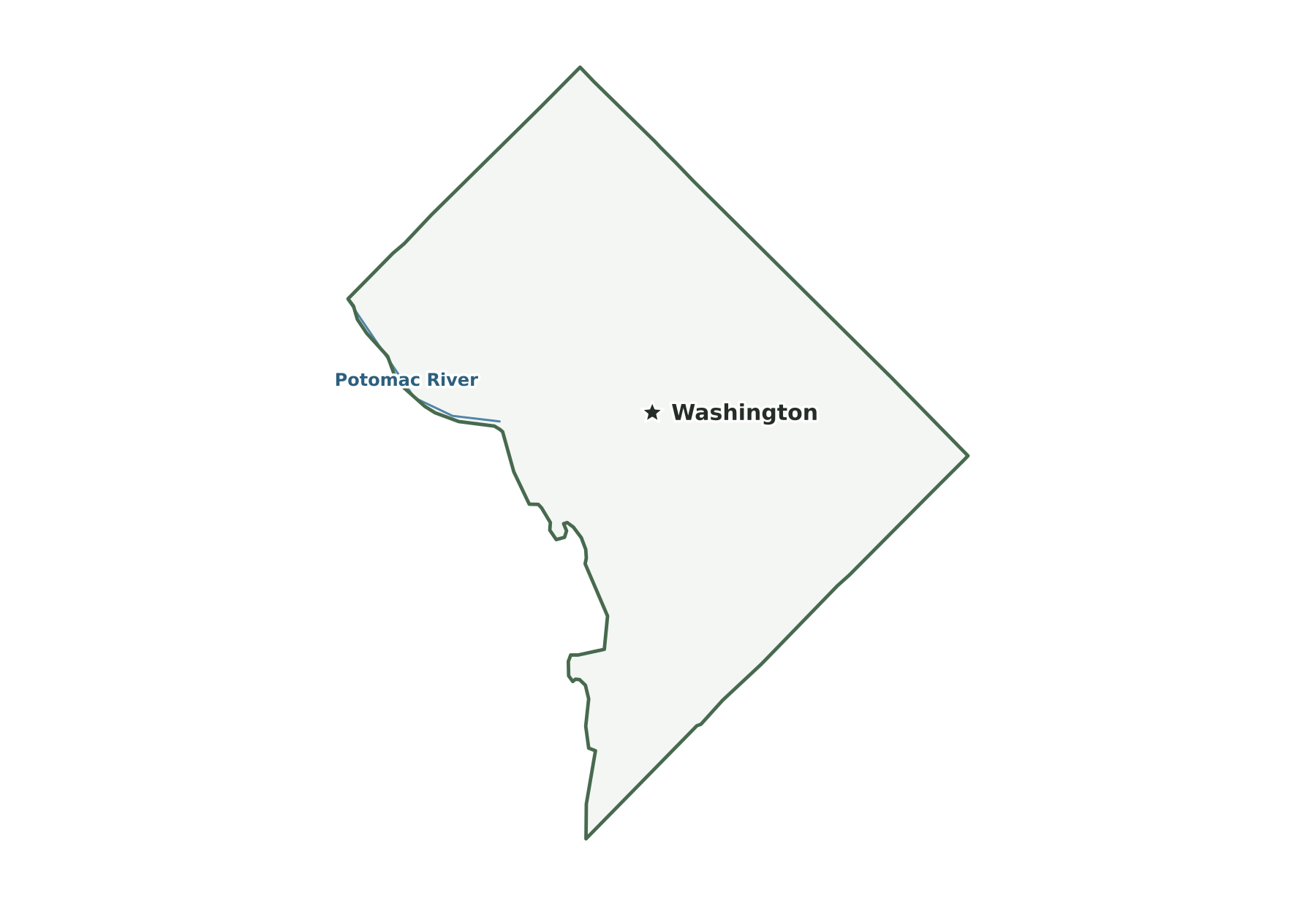
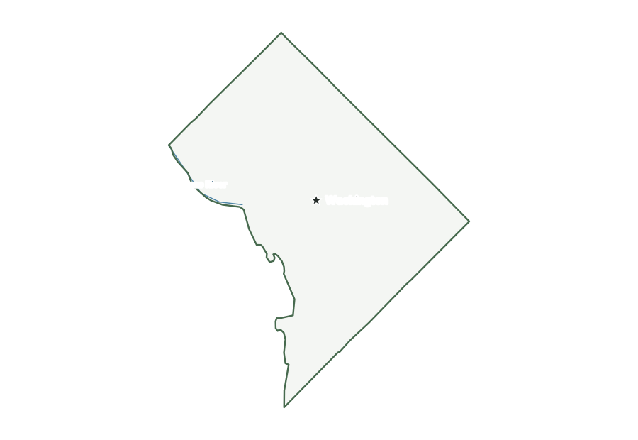
Three waterways organize the map of Washington, D.C. The Potomac River forms the southwestern edge, the Anacostia River crosses the southeast before joining the Potomac near Hains Point, and Rock Creek runs south through the northwest in a long wooded valley to the Potomac. Little Falls, at the northwest edge, marks the Atlantic Seaboard fall line, with higher ground to the north reaching its peak at Fort Reno Park. Theodore Roosevelt Island lies in the Potomac. Much of the land around the National Mall and Foggy Bottom was once marsh or river. The straight northwest, northeast and southeast sides are survey lines facing Maryland.
City of Washington
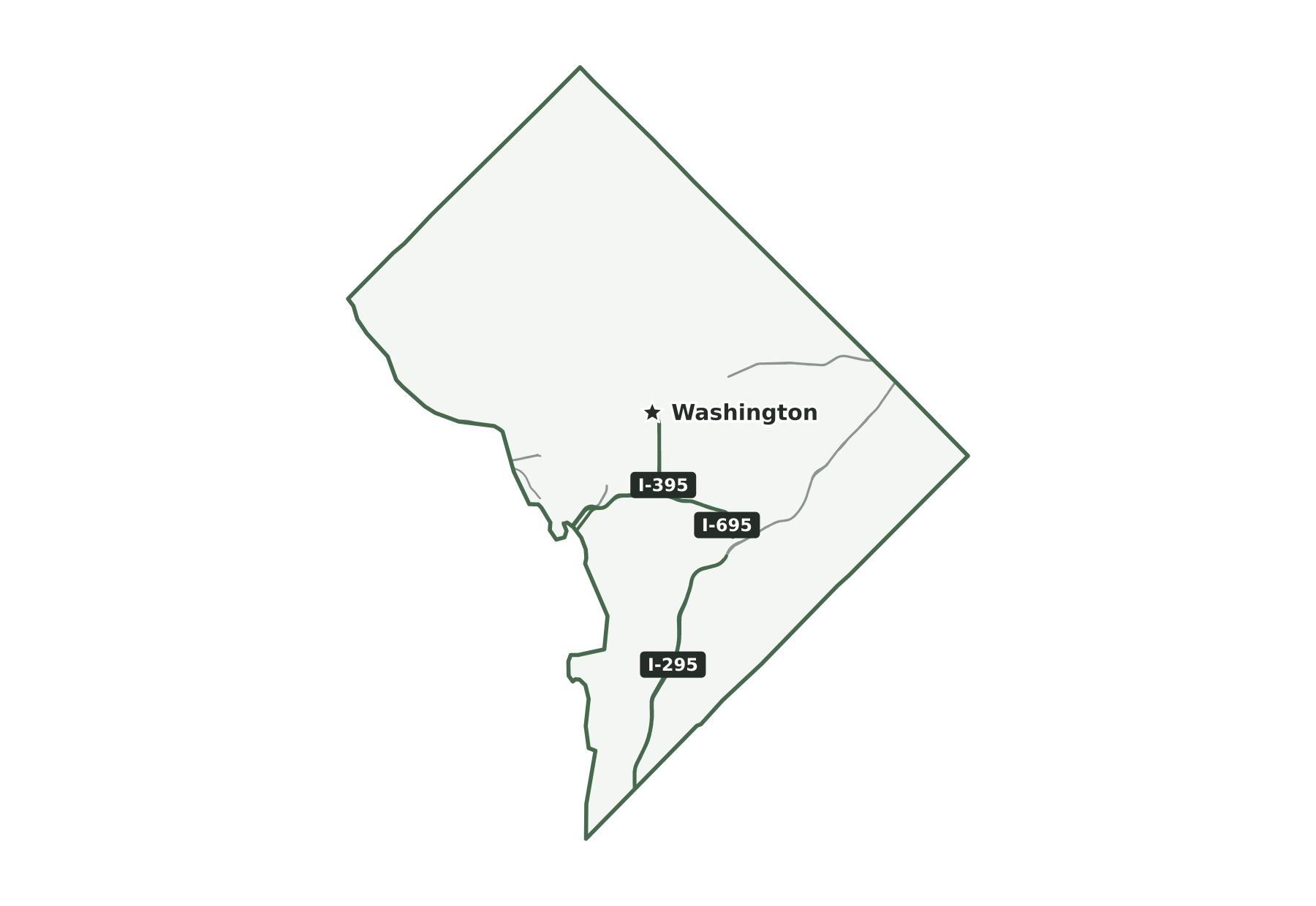
Interstates and major highways
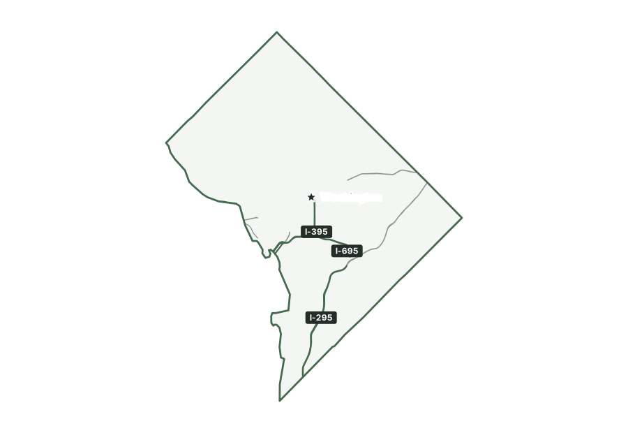
The interstates in the District are I-295, I-395, and I-695.
States that border Washington, D.C.
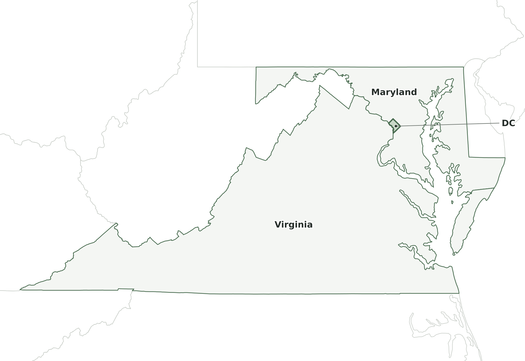
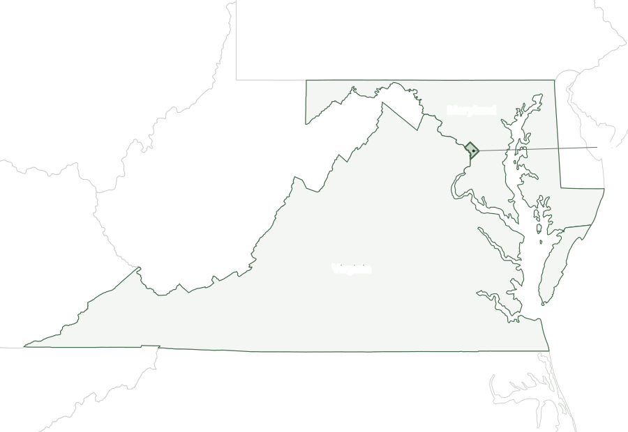
Two states border Washington, D.C.: Maryland, on the northwest, northeast, and southeast sides, and Virginia, across the Potomac River to the southwest.
Map of Washington, D.C., and surrounding states
| State | Direction | Shared land boundary |
|---|---|---|
| Maryland | northeast | about 30 mi |
| Virginia | southwest | about 14 mi |
How each boundary is drawn
Maryland. Three straight survey lines from the original 10-mile square form the boundary, on the northwest, northeast and southeast sides of the District.
Virginia. The mean high-water mark on the Potomac River's Virginia shore forms the line, which places the river on the District side.
Directions and lengths in the table are our measurements: the direction is the side of Washington, D.C., along which each shared boundary runs, judged from the center of the state. Lengths are measured along the generalized 1:5,000,000 boundary lines, which smooth out river bends and small jogs, so they run shorter than surveyed lengths. The file is clipped to the shoreline of the oceans, the Great Lakes, and large bays, so boundaries through those waters are not counted.
County equivalent
The Census Bureau treats the District of Columbia as one county equivalent with FIPS code 11001. Its land area in the 2025 county file is 61.1 square miles.
Geographic extent
In the generalized boundary file, the District reaches from 38.79° N to 39.00° N and from 77.12° W to 76.91° W. That is about 14 miles north to south and 11 miles east to west at its central latitude. The center of its mapped area falls at 38.90° N, 77.02° W, nearest to Washington among Census-listed places. We calculated this center from the outline; it is not an official geographic-center marker.
Frequently asked questions
What states border Washington, D.C.?
Maryland and Virginia. See the map of Washington, D.C., and surrounding states.
Does Washington, D.C., have counties?
No. The District has no counties; the Census Bureau treats the whole District as a single county equivalent, with FIPS code 11001.
How big is Washington, D.C.?
In the Census Bureau’s 2025 boundary file, the District covers 68 square miles: 61 of land and 7 of water. It is smaller than any state: Rhode Island, the smallest, covers 1,545 square miles.
What time zone is Washington, D.C., in?
The District is in the Eastern Time Zone and observes daylight saving time.
What is the highest point in Washington, D.C.?
The highest point is Point Reno, at 410 feet. The lowest point is the Potomac River, at 1 foot.
Sources and use
Boundaries: U.S. Census Bureau, 2025 Cartographic Boundary Files, 1:5,000,000 scale, generalized for display. Population: Census Bureau Vintage 2025 estimates. City positions: the 2025 Census Gazetteer. Roads: 2025 TIGER/Line primary roads. Rivers and lakes: Natural Earth. County seats: Wikidata, checked against Wikipedia’s county lists. The maps are for reference, teaching, and ordinary printing, not for property lines, precincts, or navigation. When you share a map, keep the source line with it. The printing guide covers paper size and attribution.